
iBet uBet web content aggregator. Adding the entire web to your favor.
Link to original content: https://www.summitpost.org/page/150472

|
|
Mountain/Rock |
|---|---|
|
|
43.97970°N / 121.6892°W |
|
|
9065 ft / 2763 m |
|
|
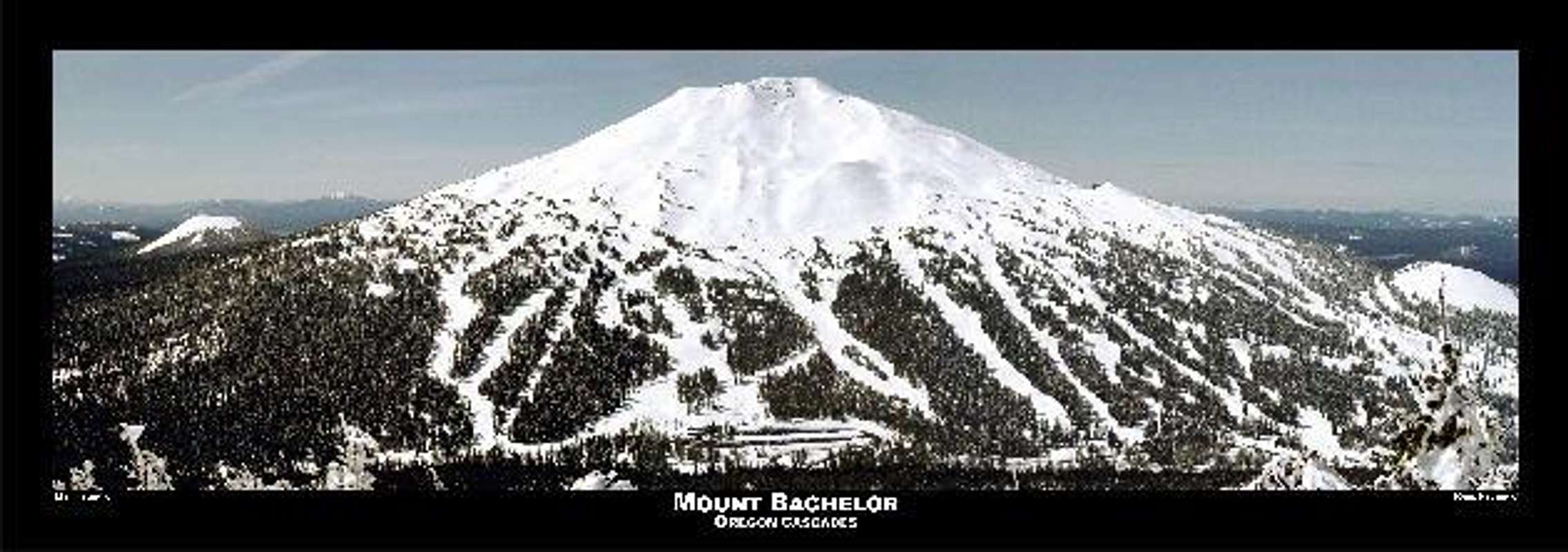
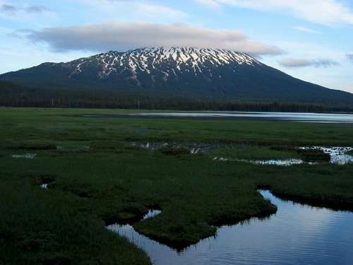
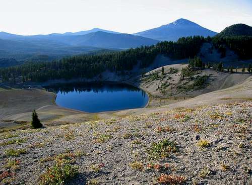
While it is best known for its awesome skiing, Mount Bachelor is one of the higher Oregon peaks with some excellent views at the summit. It can easily be done in an afternoon or so, the only problem being that there is only one main road to it. The upside of this is that the road goes right to the mountain and there is no approach. I do not know how many people climb this volcano, I saw only two others the day I summitted which is puzzling as it is not a difficult climb. I found it rewarding to seem to have the whole mountain to myself. Still, be careful as bad things still happen on easy mountains.
There are two main trails to the summit. One starts off the main highway near the Sunrise Lodge and switchbacks up to the summit. The trail is supposed to be across the highway from the "Dutchman's Flat" sign. I chose a different route that ascends directly from the ski area. This way is not so evident. If you chose this way to make it more of a challenge, you can go straight up in the scree or pick and chose some of the service roads when able to.
From Bend, OR, take 372 west (Cascades Lakes Highway) to Mt. Bachelor (a little bit over 20 miles). I found it difficult to find a road designation but there are plenty of signs in Bend pointing the way to Mt. Bachelor. Note that 14th Street in Bend turns in to Cascade Lakes Highway if you take it west. Pull in the main ski area to ascend via that way or, park at the Sunrise Lodge to take the trail up.
A Trail Parks Pass is required to park at or near the trailhead. I parked at the main ski lot and there was no fee.
Please note that it is not encouraged (and I do not know about the regulations/laws) to park in the lot overnight at least during the winter months. One person was killed while sleeping in the lot and even though this was while camping outside his car, you never know if a snowplow might clip a car while you are in it as well.
As stated before, you really can not climb during ski season. It makes for a nice summer hike/summit though. Best months would be July through September.
There are three self-serve style campsites just a few miles west of Mt. Bachelor on Cascade Lakes Highway. From east to west they are at Todd Lake (at the base of Broken Top), Sparks Lake and Devils Lake. There are also numerous hotels and resorts starting just a few miles east on Cascade Lakes Highway and continuing into Bend about 20 miles from Mt. Bachelor.
Another nearby campsite is Hosmer Lake.
If you want info about skiing Mt. Bachelor, click here
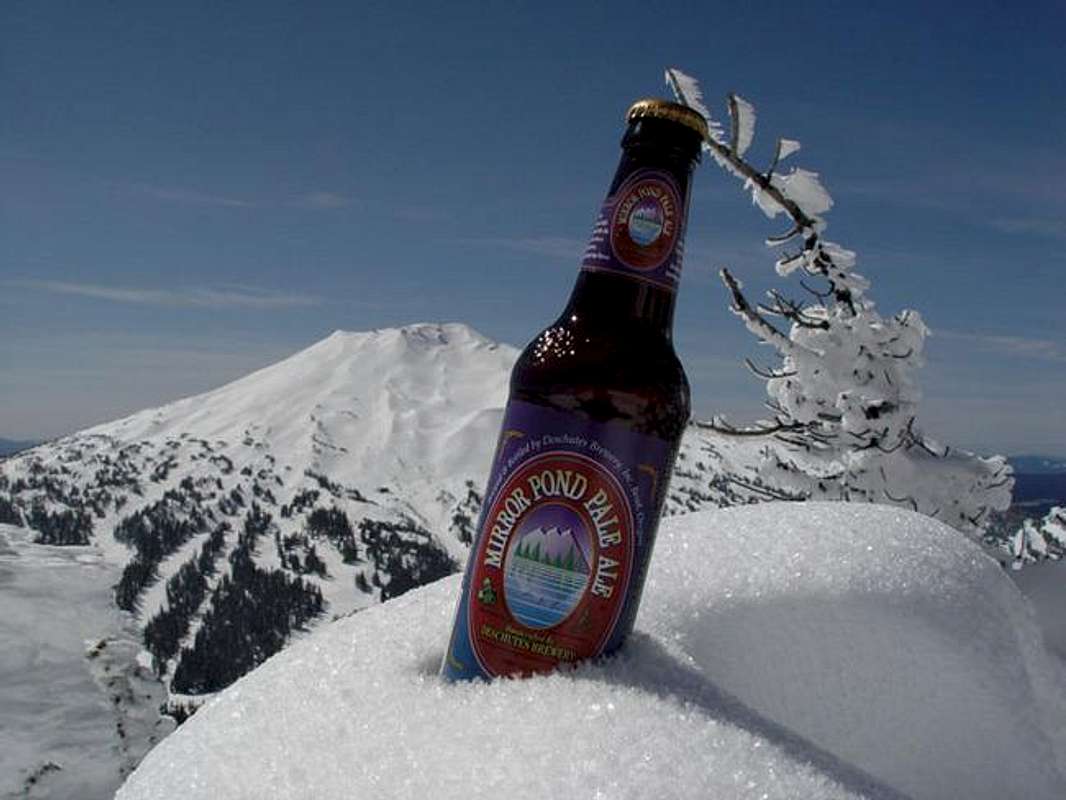
For a current webcam picture of the mountain as well as weather conditions and a trail map, go here
Click here for some geological background info on Bachelor.
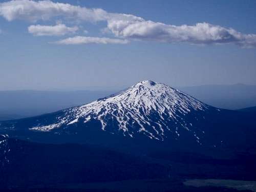
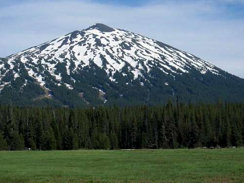

Malibu - Aug 25, 2009 1:23 am - Hasn't voted
More Ski Area Route InfoWhile some prefer heading straight up the lift right-of-way or one of the ridges along this route, the switchback trail from just above the lower summit lift terminus isn't a bad way to go for more consistently firm footing. It is fairly simple to find the trail head--just follow the service road above the lower lift building for a couple of switchbacks and look for the trail that proceeds up through a tree-lined ridge immediately to the East (left) of the lift. Some loose scree along this trail but overall an easier way to the top.
osatrik - Dec 15, 2010 10:59 pm - Hasn't voted
The Old NameWhen I first skied and climbed Bachelor, it was called Bachelor Butte. Once the ski area grew up and started out-of-state marketing, they decided that wasn't a very glamorous sounding name, so they petitioned and got the government to change the official name to Mount Bachelor.
Brian Jenkins - Dec 16, 2010 12:46 am - Hasn't voted
Re: The Old NameInteresting, I did not know that. Thanks for the info. A lot of people still call it Bachelor Butte too. Makes more sense now. Thanks, Brian