Virunga National Park
Virunga National Park
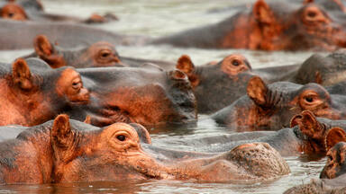
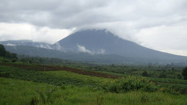
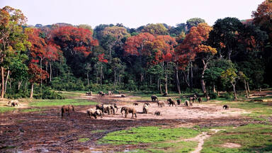
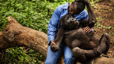
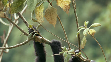
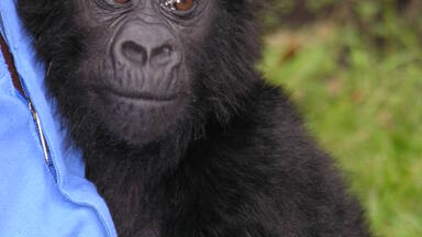
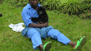
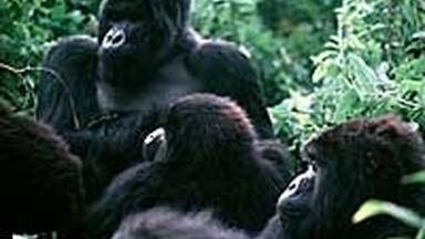
Virunga National Park (covering an area of 790,000 ha) comprises an outstanding diversity of habitats, ranging from swamps and steppes to the snowfields of Rwenzori at an altitude of over 5,000 m, and from lava plains to the savannahs on the slopes of volcanoes. Mountain gorillas are found in the park, some 20,000 hippopotamuses live in the rivers and birds from Siberia spend the winter there.
Description is available under license CC-BY-SA IGO 3.0
Parc national des Virunga
S'étendant sur 790 000 ha, le parc des Virunga présente une diversité d'habitats incomparable, allant des marécages et des steppes jusqu'aux neiges éternelles du Rwenzori, à plus de 5 000 m d'altitude, en passant par les plaines de lave et les savanes sur les pentes des volcans. Quelque 20 000 hippopotames fréquentent ses rivières, le gorille de montagne y trouve refuge, et des oiseaux en provenance de Sibérie viennent y passer l'hiver.
Description is available under license CC-BY-SA IGO 3.0
منتزه فيرونغا الوطني
يشغل منتزه فيرونغا مساحة 790000 هكتار ويحوي طائفة متنوعة من المساكن الفريدة، بدءاً بالمستنقعات والسهوب وانتهاء بثلوج جبال روينزوري الأزلية على ارتفاع يفوق 5000 متر، مروراً بسهول الحمم والسافانا على منحدرات البراكين. ويعمد ما يقارب 20000 فرس نهر الى ارتياد أنهار المنتزه الذي يشكل ايضاً ملاذاً لغوريلا الجبال والطيور المهاجرة من سيبيريا لقضاء فصل الشتاء في ربوعه.
source: UNESCO/CPE
Description is available under license CC-BY-SA IGO 3.0
维龙加国家公园
维龙加国家公园占地790 000万公顷,地貌多种多样,从沼泽地、稀树大草原到海拔5000米以上的鲁文佐里雪山(snowfields of Rwenzori),从融岩平原到火山山坡处的大草原,不一而足。山地大猩猩栖息在公园里,河畔地带约有20 000头河马,而自西伯利亚迁徙的鸟儿也在这里过冬。
source: UNESCO/CPE
Description is available under license CC-BY-SA IGO 3.0
Национальный парк Вирунга
Этот занимающий площадь 790 тыс. га национальный парк включает самые различные ландшафты – от болот и лугов до заснеженных вершин гор Рувензори, превышающих отметку 5000 м, и от лавовых покровов до саванн на склонах вулканов. Здесь обитают горные гориллы, местные реки населяют бегемоты в количестве примерно 20 тыс. особей, сюда же на зимовку прилетают птицы из Сибири.
source: UNESCO/CPE
Description is available under license CC-BY-SA IGO 3.0
Parque Nacional de Virunga
Este sitio de 790.000 hectáreas posee una diversidad de hábitats incomparable: pantanos, estepas, planicies de lava, sabanas en laderas de volcanes y cumbres nevadas del macizo de Rwenzori, que se eleva a más de 5.000 metros de altura. Unos 20.000 hipopótamos viven en los ríos de este parque, que también sirve de refugio al gorila de montaña y ofrece lugar de invernada a numerosas aves procedentes de Siberia.
source: UNESCO/CPE
Description is available under license CC-BY-SA IGO 3.0
ヴィルンガ国立公園
source: NFUAJ
Nationaal park Virunga
Het nationaal park Virunga omvat een oppervlakte van 790.000 hectare. Het park is uniek vanwege zijn actieve keten van vulkanen, het huisvest de spectaculaire bergmassieven van de Rwenzori en Virunga, de twee meest actieve vulkanen van Afrika. Daarnaast kent het gebied een verscheidenheid van habitats die elk andere Afrikaans park overtreft. Er zijn moerassen, steppen, maar ook de sneeuwvelden van de Rwenzori op meer dan 5.000 meter hoogte. Verder komen er lavavlakten voor, maar ook savannen op de hellingen van vulkanen. In het park zijn berggorilla’s te vinden en in de rivieren leven zo’n 20.000 nijlpaarden. Het park is ook de overwinteringsplek voor vogels uit Siberië.
Source: unesco.nl
Outstanding Universal Value
Brief synthesis
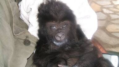
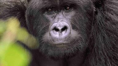
Virunga National Park is unique with its active chain of volcanoes and rich diversity of habitats that surpass those of any other African park. Its range contains an amalgamation of steppes, savannas and plains, marshlands, low altitude and afro-montane forest belts to unique afro-alpine vegetation and permanent glaciers and snow on Monts Rwenzori whose peaks culminate in 5000 m height. The property includes the spectacular massifs of Rwenzori and Virunga Mountains containing the two most active volcanoes of Africa. The wide diversity of habitats produces exceptional biodiversity, notably endemic species and rare and globally threatened species such as the mountain gorilla.
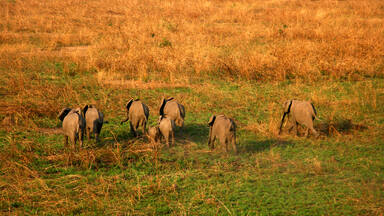
Criterion (vii): Virunga National Park offers the most spectacular montane landscapes in Africa. Mt Rwenzori with its jagged reliefs and snowy summits, their cliffs and steep valleys, and the volcanoes of the Virunga massif covered with an afro-alpine vegetation of tree ferns and Lobelia and their slopes covered by dense forests, are the places of exceptional natural beauty. The volcanoes, which erupt at regular intervals every few years, constitute the dominant land features of the outstanding landscape. The Park presents several other spectacular panoramas like the eroded valleys in the Sinda and Ishango regions. The Park also contains important concentrations of wildlife, notably elephants, buffalo and Thomas cobs, and the largest concentration of hippopotamuses in Africa, with 20,000 individuals living on the banks of Lake Edward and along the Rwindi, Rutshuru and Semliki Rivers.
Criterion (viii): Virunga National Park is located in the centre of the Albertine Rift, of the Great Rift Valley. In the southern part of the Park, tectonic activity due to the extension of the earth’s crust in this region has caused the emergence of the Virunga massif, comprising eight volcanoes, seven of which are located, totally or partially, in the Park. Among them, are the two most active volcanoes of Africa – Nyamuragira and nearby Nyiragongo - which between them are responsible for two-fifths of the historic volcanic eruptions on the African continent and which are characterized by the extreme fluidity of the alkaline lava. The activity of Nyiragongo is of world importance as a witness to volcanism of a lava lake: the bottom of its crater is in fact filled by a lake of quasi permanent lava that empties periodically with catastrophic consequences for the local communities. The northern sector of the Park includes about 20% of the massif of Monts Rwenzori – the largest glacial region of Africa and the only true alpine mountain chain of the continent. It borders the Rwenzori Mountains National Park of Uganda, inscribed as World Heritage, with which it shares the ‘Pic Marguerite’, third highest summit of Africa (5,109 m).
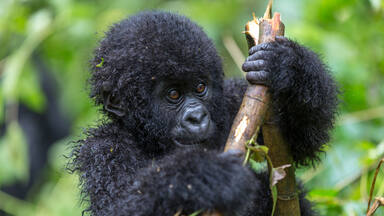
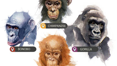
Criterion (x): Due to its variations in altitude (from 680 m to 5,109 m), rainfall and nature of the ground, Virunga National Park possesses a very wide diversity of plants and habitats, making it the top African National Park for biological diversity. More than 2,000 premier plant species have been identified, of which 10% are endemic to the Albertine Rift. The afro-montane forests represent about 15% of the vegetation. The Rift Albertine also contains more endemic vertebrate species than any other region of the African continent and the Park possesses numerous examples of them. The Park contains 218 mammal species, 706 bird species, 109 reptile species and 78 amphibian species. It also serves as refuge to 22 primate species of which three are the great ape – mountain gorilla (Gorilla beringei beringei), the eastern plain gorilla (Gorilla beringei graueri) and the eastern chimpanzee (Pan troglodytes schweinfurthi), with a third of the world population of mountain gorillas. The savannah zones of the Park contain a diverse population of ungulates and the density of biomass of wildlife is one of the highest on the earth Planet (27.6 ton/km2). Among the ungulates, there are certain rare animals such as the okapi (Okapi johnstoni), endemic to the Democratic Republic of the Congo, and the red forest duiker (Cephalophus rubidus), endemic to Monts Rwenzori. The Park also comprises important tropical zones essential for the wintering of Palearctic avifauna.
Integrity
The Park is characterized by a mosaic of extraordinary habitats that extend over 790,000 ha. The property is clearly delineated by the 1954 Ordinance. The wealth is well protected despite the economic and demographic challenges to its periphery.
The Park contains two highly important ecological corridors as it connects the different respective sectors: the Muaro corridor connects the Mikeno sector to the Nyamulagira sector; the west side connects the north sector to the centre sector of the Virunga massif. The presence of the Queen Elizabeth National Park, a protected area contiguous with Uganda, also constitutes an ecological land corridor connecting the centre and north sectors. Also, Lake Edward forms an important aquatic corridor.
Protection and management requirements
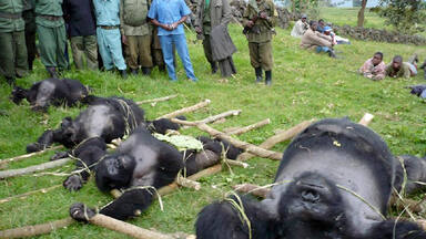
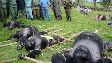
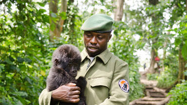
The property has benefited from the status of National Park since 1925. Its management authority is the Congolese Institute for Nature Conservation (ICCN) the body which has lost numerous agents killed on active service. The Park encounters management problems.
To assure the perpetuation in resource values of the property, the Park must be managed on a scientific basis and possess a management plan which will facilitate, among others, a better delineation of the different zones. Strengthened surveillance is required to assure the integrity of the Park boundaries. It would reduce poaching, deforestation, and pressure on the fishery resources (which risk increase), notably activities by isolated armed groups. To this end, the strengthening of staff and availability of equipment as well as the training of Park staff are of primary importance.
Improvement and strengthening of the administrative and surveillance infrastructures would contribute towards reducing the pressure on the rare and threatened species, such as the mountain gorilla, elephants, hippotomuses and chimpanzees. In view of the important increase in the populations, the establishment of buffer zones in all the sectors is indispensible and a matter of urgency. Another priority is to establish a Trust Fund to guarantee sufficient resources for the long-term protection and management of the property.
The promotion of a localised and controlled tourism could increase the income and contribute towards regular financing for the maintenance of the property.
Notes
- Property inscribed for both geological and ecological values under natural criterion N (ii) before 1994. Criterion N (i) [Operational Guidelines 2002] was added. For more details see Decision 30.COM 8D.1.


