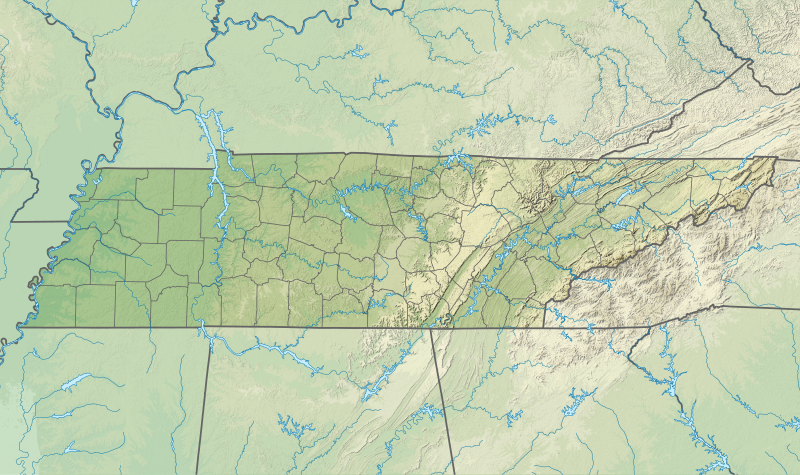
File:USA Tennessee relief location map.svg
Appearance

Size of this PNG preview of this SVG file: 800 × 475 pixels. Other resolutions: 320 × 190 pixels | 640 × 380 pixels | 1,024 × 608 pixels | 1,280 × 759 pixels | 2,560 × 1,519 pixels | 1,800 × 1,068 pixels.
Original file (SVG file, nominally 1,800 × 1,068 pixels, file size: 4.1 MB)
File history
Click on a date/time to view the file as it appeared at that time.
| Date/Time | Thumbnail | Dimensions | User | Comment | |
|---|---|---|---|---|---|
| current | 03:39, 4 February 2021 |  | 1,800 × 1,068 (4.1 MB) | SANtosito | Uploaded own work with UploadWizard |
File usage
The following 11 pages use this file:
- Carthage, Tennessee
- Clarksville, Tennessee
- Knoxville, Tennessee
- Memphis, Tennessee
- Pigeon Forge, Tennessee
- Pleasant View, Tennessee
- Module:Location map/data/USA
- Module:Location map/data/USA/doc
- Module:Location map/data/USA Tennessee
- Module:Location map/data/USA Tennessee/doc
- Module:Location map/data/United States
Global file usage
The following other wikis use this file:
- Usage on bg.wikipedia.org
- Usage on ca.wikipedia.org
- Usage on ckb.wikipedia.org
- Usage on de.wikipedia.org
- WIMZ-FM-Sendemast
- Tennessee Valley Authority
- Roan Mountain
- Vorlage:Positionskarte USA Tennessee
- WEVL
- Lookout Mountain
- Raccoon-Mountain-Pumpspeicherwerk
- Kuwohi
- Island F
- WSAA
- WZNG
- Boone Lake (South Fork Holston River)
- Watauga Lake
- Cherokee Lake (Holston River)
- Norris Lake
- Wilbur Lake (Tennessee)
- Montgomery Bell’s Tunnel
- Mount Le Conte (Tennessee)
- Usage on en.wikipedia.org
View more global usage of this file.


