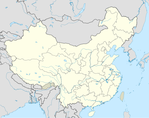
Papeles:China edcp location map.svg
Appearance

Kadakkel daytoy a panangipadas ti PNG iti daytoy a papeles ti SVG: 512 × 408 dagiti piksel. Sabali kadagiti resolusion: 301 × 240 dagiti piksel | 602 × 480 dagiti piksel | 964 × 768 dagiti piksel | 1,280 × 1,020 dagiti piksel | 2,560 × 2,040 dagiti piksel.
Kasisigud a papeles (SVG a papeles, babassit ngem 512 × 408 pixels, kadakkel ti papeles: 2.56 MB)
Pakasaritaan ti papeles
Pinduten iti petsa/oras tapno makita ti papeles a kas naiparang iti dayta a panawen.
| Petsa/Oras | Bassit a ladawan | Dagiti rukod | Agar-aramat | Komentario | |
|---|---|---|---|---|---|
| agdama | 04:10, 13 Disiembre 2021 |  | 512 × 408 (2.56 MB) | Maanshen | Update borders and land reclamation. |
| 02:44, 31 Oktubre 2021 |  | 512 × 408 (2.54 MB) | Not logging in | Fix colored path shown as land in XInjiang and Gansu. | |
| 02:41, 31 Oktubre 2021 |  | 512 × 408 (2.54 MB) | Not logging in | FIx | |
| 02:35, 31 Oktubre 2021 |  | 512 × 408 (2.54 MB) | Not logging in | Corrected borders for Xinjiang, Qinghai, and Gansu provincial borders per request, see NordNordWest's talk page | |
| 12:32, 29 Marso 2021 |  | 512 × 408 (2.36 MB) | 瑞丽江的河水 | Reverted to version as of 09:13, 22 February 2021 (UTC), disputed area, special color | |
| 07:40, 29 Marso 2021 |  | 1,181 × 940 (4.07 MB) | Turbo Slayer 2021 | Reverted to version as of 02:23, 28 March 2021 (UTC)Firstly, Taiwan is not a part of China cause the Government of Taiwan is Republic of China. Southern Tibet is a part of India not China. That's all | |
| 14:08, 28 Marso 2021 |  | 512 × 408 (2.36 MB) | 瑞丽江的河水 | Reverted to version as of 09:13, 22 February 2021 (UTC) | |
| 02:23, 28 Marso 2021 |  | 1,181 × 940 (4.07 MB) | Turbo Slayer 2021 | Reverted to version as of 20:14, 31 August 2011 (UTC) | |
| 09:13, 22 Pebrero 2021 |  | 512 × 408 (2.36 MB) | DokiDonkey | Fix | |
| 09:23, 19 Pebrero 2021 |  | 512 × 408 (2.34 MB) | DokiDonkey | Change Trans-Karakoram Tract |
Panagusar iti papeles
Ti sumaganad a 5 a pampanid ket agus-usar iti daytoy a papeles:
Global a panagusar ti papeles
Dagiti sumaganad a wiki ket agus-usar iti daytoy a papeles:
- Panagusar idiay ace.wikipedia.org
- Panagusar idiay af.wikipedia.org
- Nanjing
- Groot Muur van China
- Sjabloon:Liggingkaart Volksrepubliek China
- Shangqiu
- Dongguan
- Wenzhou
- Zibo
- Suzhou, Jiangsu
- Kaifeng
- Qingdao
- Xiamen
- Shantou
- Wuxi
- Quanzhou
- Shijiazhuang
- Changsha
- Hefei
- Kunming
- Tangshan
- Ningbo
- Fuzhou
- Changzhou
- Taizhou, Zhejiang
- Ürümqi
- Guiyang
- Xuzhou
- Nanchang
- Lanzhou
- Anshan
- Yangzhou
- Nantong
- Hohhot
- Jilin (stad)
- Huainan
- Linyi
- Xiangtan
- Huizhou
- Baotou
- Nanyang
- Baoding
- Liuzhou
- Tai'an
- Fuyang
- Jiangmen
- Yinchuan
- Weifang
- Zhuhai
- Huangshi
Kitaen ti adu pay a global a panagusar iti daytoy a papeles.


