Beaver Chief Falls
Appearance
| Beaver Chief Falls | |
|---|---|
 | |
| Location | Glacier National Park (U.S.), Montana, U.S. |
| Coordinates | 48°35′38″N 113°45′52″W / 48.5938597°N 113.7645590°W[1] |
| Type | Cascade/Fall |
| Total height | 1,291 ft (393 m) |
| Number of drops | 3 |
| Longest drop | 517 m (1,696 ft) |
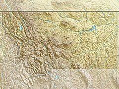
Beaver Chief Falls is a waterfall located in Glacier National Park, Montana, US. The falls emerge at the top of a hanging valley just beyond the outflow for Lake Ellen Wilson and descend in a series of braided drops a distance of nearly 1,300 feet (400 m), the tallest of which is recorded as being a straight drop of 517 ft (158 m). Below the hanging valley lies Lincoln Lake, where the cascades end. Somewhat inaccessible, the falls require a nearly 20-mile (32 km) round-trip hike to visit.[2][3]

References
[edit]- ^ "Beaver Chief Falls". Geographic Names Information System. United States Geological Survey, United States Department of the Interior. Retrieved December 28, 2019.
- ^ "Beaver Chief Falls". World Waterfall Database.
- ^ Lake McDonald East, MT (Map). TopoQwest (United States Geological Survey Maps). Retrieved December 28, 2019.


