Kalumbwe (suba sa Copperbelt Province)
Appearance
Paghimo ni bot Lsjbot. |
- Alang sa ubang mga dapit sa mao gihapon nga ngalan, tan-awa ang Kalumbwe.
| Kalumbwe | |
| Suba | |
| Nasod | |
|---|---|
| Lalawigan | Copperbelt Province |
| Gitas-on | 1,172 m (3,845 ft) |
| Tiganos | 13°05′00″S 28°05′00″E / 13.08333°S 28.08333°E |
| Timezone | CAT (UTC+2) |
| GeoNames | 914928 |
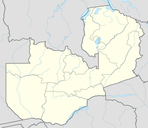
Suba ang Kalumbwe sa Zambiya.[1] Nahimutang ni sa lalawigan sa Copperbelt Province, sa sentro nga bahin sa nasod, 260 km sa amihanan sa Lusaka ang ulohan sa nasod. Ang Kalumbwe mao ang bahin sa tubig-saluran sa Zambezi River.
Ang mga gi basihan niini
[usba | usba ang wikitext]- ↑ Kalumbwe sa Geonames.org (cc-by); post updated 1994-01-08; database download sa 2017-02-28


