Aland (river)
Jump to navigation
Jump to search
| Aland | |
|---|---|
 Aland, lower course | |
| Location | |
| Country | Germany |
| Physical characteristics | |
| Source | |
| • location | Biese, Altmark |
| • coordinates | 52°52′08″N 11°45′07″E / 52.869°N 11.7520°E |
| Mouth | |
• location | Elbe |
• coordinates | 53°02′17″N 11°34′07″E / 53.0381°N 11.5685°E |
| Length | 28.0 km (17.4 mi) [1] |
| Basin features | |
| Progression | Elbe→ North Sea |
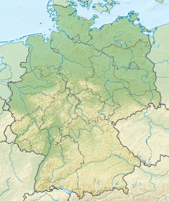
The Aland is a river in the German states of Lower Saxony and Saxony-Anhalt,[2] left tributary of the Elbe.[2] It is the continuation of the river Biese (downstream from Seehausen),[3] which is the continuation of the river Milde. The Aland is 27 kilometres (17 mi) long, whereas the total Milde-Biese-Aland system is 97 kilometres (60 mi) long. The Aland flows into the Elbe in Schnackenburg.[2]
See also
References
- ^ Saxony-Anhalt viewer of the State Office for Survey and Geoinformation (Landesamt für Vermessung und Geoinformation)
- ^ a b c "Aland mouth and the border between Lower Saxony and Saxony-Anhalt" (Map). Google Maps. Retrieved 7 March 2019.
- ^ "Biese and Aland" (Map). Google Maps. Retrieved 7 March 2019.

